
Cloud to Air Gap
RAIC deploys as containerized services on Kubernetes, enabling a common application architecture across cloud, on premises, classified, disconnected, and fully isolated environments.
Results are arranged in a shared vector space by visual similarity. Dense clusters reveal recurring forms and outliers, so analysts can select meaningful groups rather than review a flat ranked list.
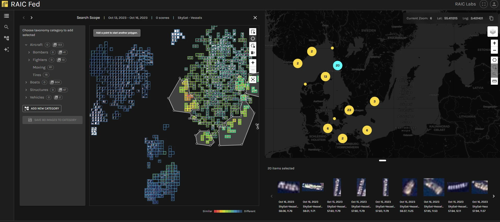
RAIC keeps the analyst in control while reducing the time between a new question and an actionable answer.
Begin with a single reference image. No labeled training set and no model development cycle required.
Query the collection across the selected temporal and spatial extent, using efficient CPU compute.
Results group by visual similarity. Triage dense clusters and commit the relevant detections to the taxonomy.
Search again from the curated set. Every pass tightens results and builds mission-specific knowledge.
Export validated detections, labels, and geospatial metadata to downstream systems.
Iterate
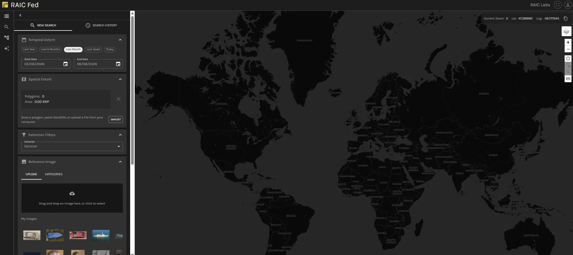
Use one or more reference images to search across locations, time ranges, and large collections without requiring labels or a pre-trained class for every target.
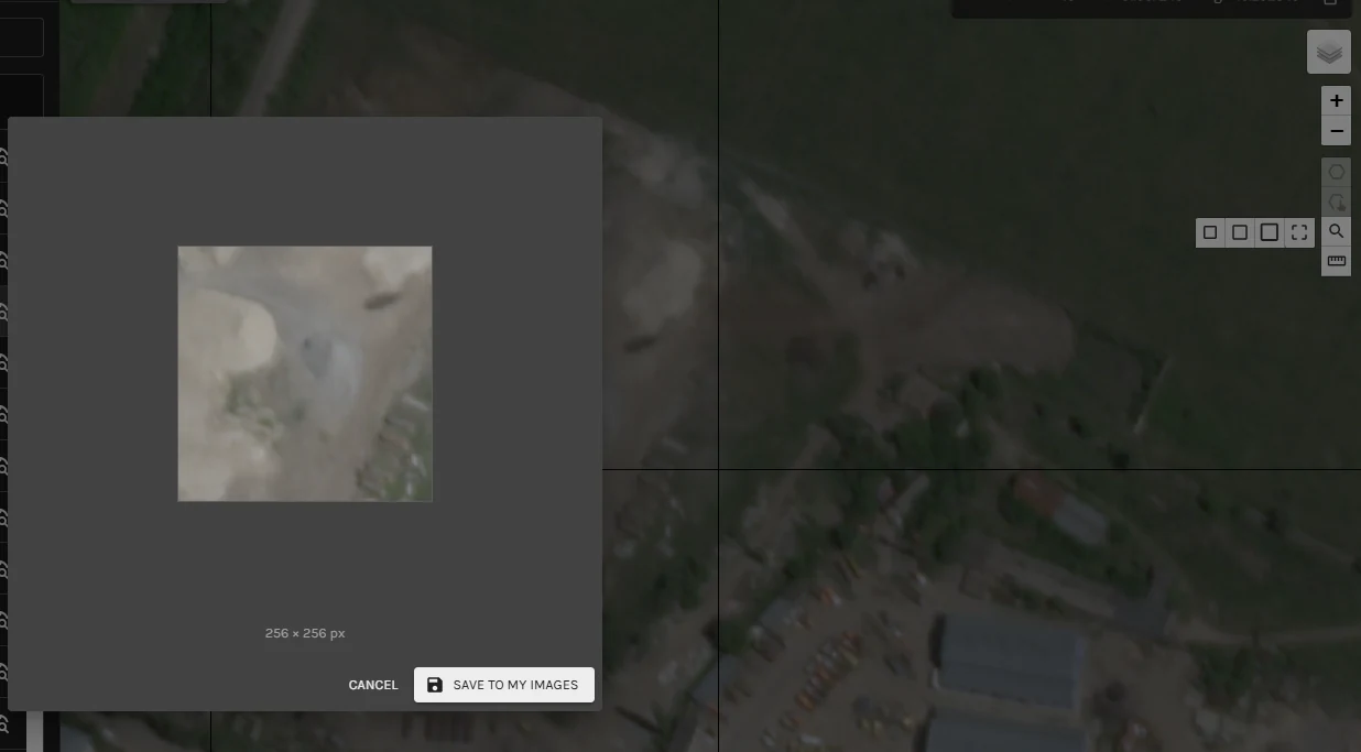
Upload an example, draw around an object in source imagery, or search from an established taxonomy category.
Set spatial and temporal extents, select compatible detectors, and revisit searches from history.
Search fixed-size visual regions when the mission calls for scene-level patterns rather than discrete objects.
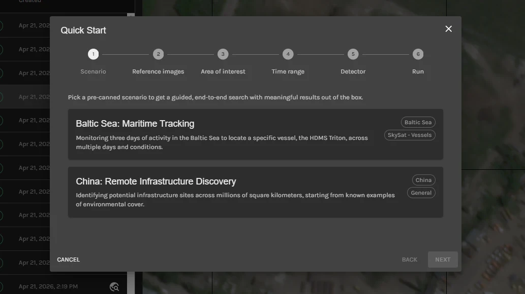
Organize approved detections into a nested, mission-defined taxonomy shared across the workspace. Every analyst decision improves what the team can search, review, and model next.
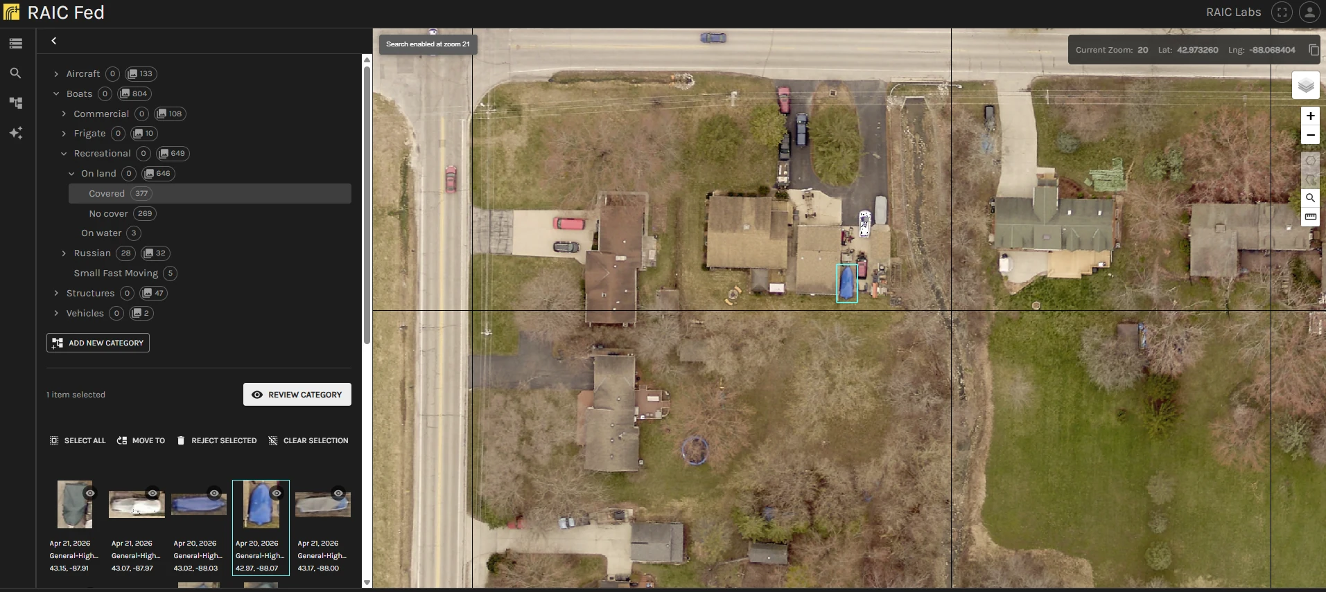
Build shallow models directly from approved taxonomy categories. A few labeled examples can become a detector that analysts train, version, run, inspect, and refine without handing the mission to an AI specialist.
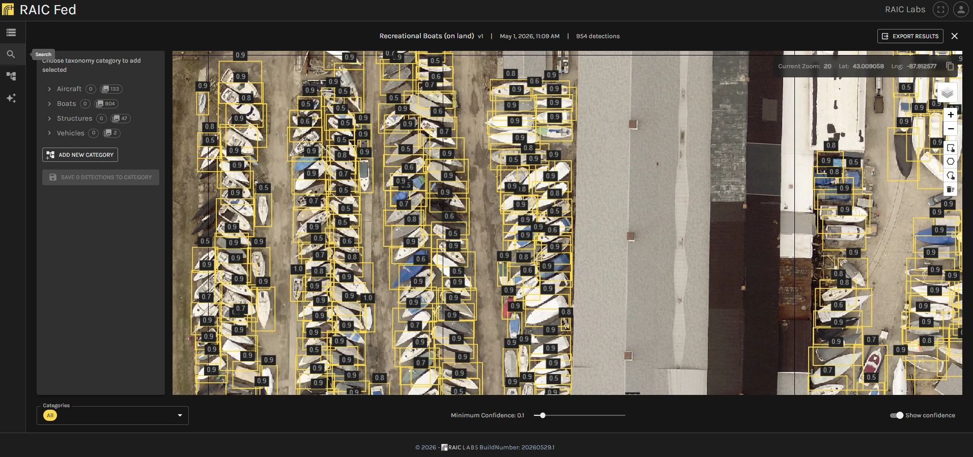
RAIC is built for operational environments and integration into existing geospatial systems, not for moving mission data into a disconnected workflow.
RAIC deploys as containerized services on Kubernetes, enabling a common application architecture across cloud, on premises, classified, disconnected, and fully isolated environments.
REST APIs, STAC endpoints, and GeoJSON connect RAIC to existing imagery catalogs, geospatial applications, and downstream exploitation workflows.
An MCP server exposes search, taxonomy, and detector operations as callable tools, so AI agents can run imagery analysis and return grounded results alongside analysts.
Integrate with messaging systems such as Apache Kafka to consume events and publish detections, alerts, metadata, and analytic outputs into existing data flows.
RAIC is pretrained unsupervised on a broad corpus of remote sensing imagery, including multispectral sources. The result is a compact embedding space that captures spatial and spectral structure once, then supports search, clustering, and classification without a new deep model for every class.
On PatternNet and EuroSAT, a logistic regression head trained on RAIC embeddings surpassed published CNN accuracies using a few percent of each labeled set. Those classifiers trained in 0.2 seconds on CPU. t-SNE plots of the embeddings show the classes are already separable, which is why shallow models and analyst-in-the-loop retrieval can replace GPU-bound retraining for many geospatial tasks.
Download whitepaperRead analyst workflows, platform concepts, deployment guidance, and API references in the complete documentation.