
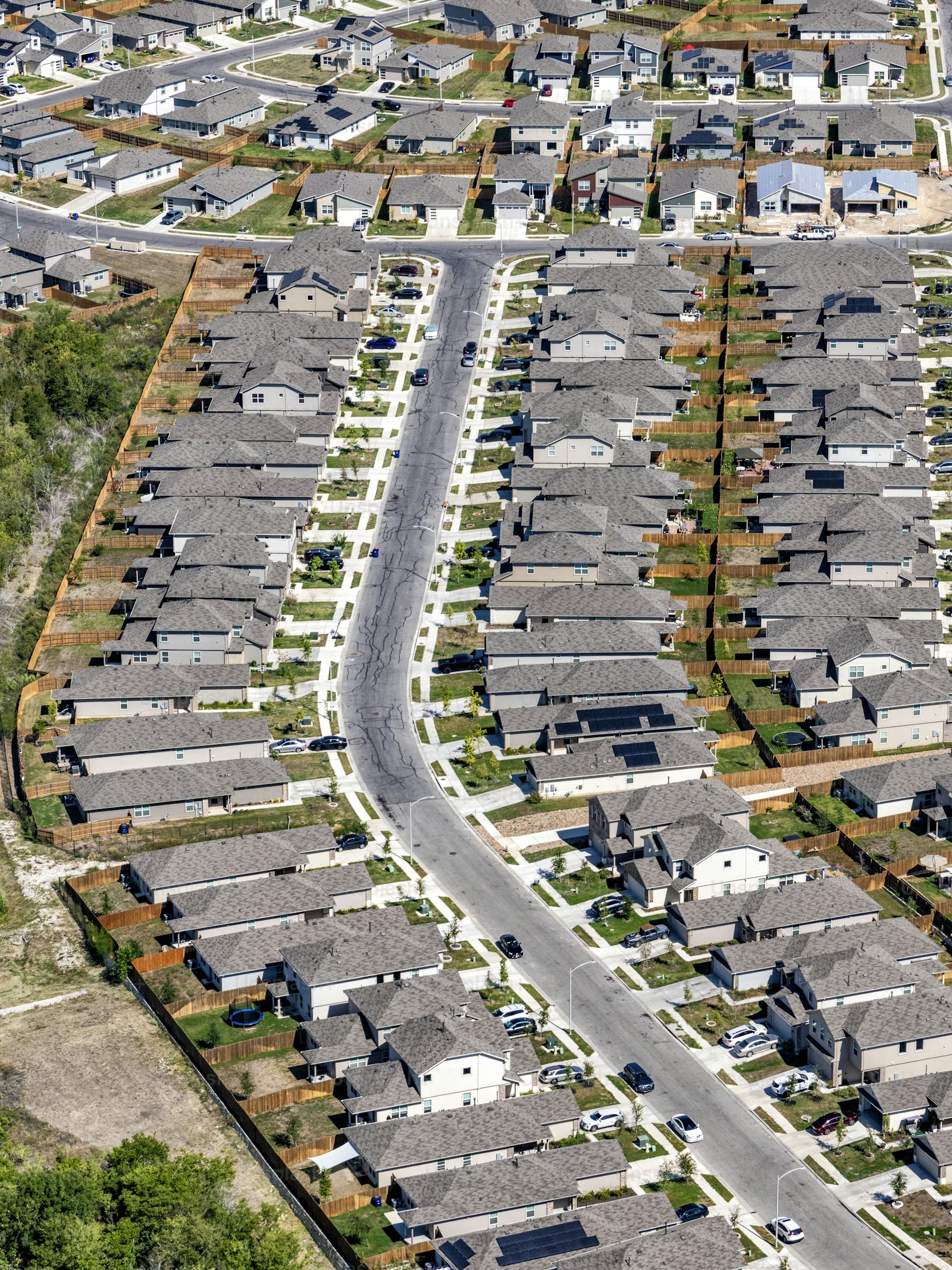
Better Visibility Across the Communities You Serve
RAIC helps public safety and municipal teams extract more value from the visual data already available to them. Search large video collections, explore broad geographic areas, understand change over time, and focus attention on the activity and infrastructure that matter most.
- Video
- Aerial
- Drone
- Satellite
Maximize the Value of Existing Imagery Assets
Combine street-level video with drone, aerial, and satellite imagery to understand activity across both place and time. RAIC helps teams quickly narrow large areas and collections to the information most relevant to an evolving event.
- Search broad areas following an incident, report, or emerging event
- Rapidly review incoming drone and aerial collection
- Compare current and historical imagery to understand change
- Identify recurring activity across locations and time periods
- Support emergency response, event operations, and search efforts with faster visual context
Find Relevant Activity Faster
Move from hours of footage to the vehicles, objects, and activity most relevant to an investigation. RAIC helps teams search across large video collections and follow visual leads as new information emerges.
- Search recorded video for similar vehicles, objects, or activity
- Trace movement across cameras, locations, and time
- Reduce manual review of large video collections
- Expand a search as new visual evidence becomes available
- Revisit historical footage when new information changes the question
Find Anything Across the Assets You Manage
Turn recurring street-level, aerial, drone, and satellite collection into a more useful view of public infrastructure. RAIC helps municipalities characterize assets, identify change, and focus inspection resources where they are needed most.
- Inventory signs, roadway assets, and municipal infrastructure
- Identify pavement deterioration and other visible conditions
- Compare field observations against existing GIS inventories
- Surface new, missing, or changed assets
- Track infrastructure conditions across repeated collection
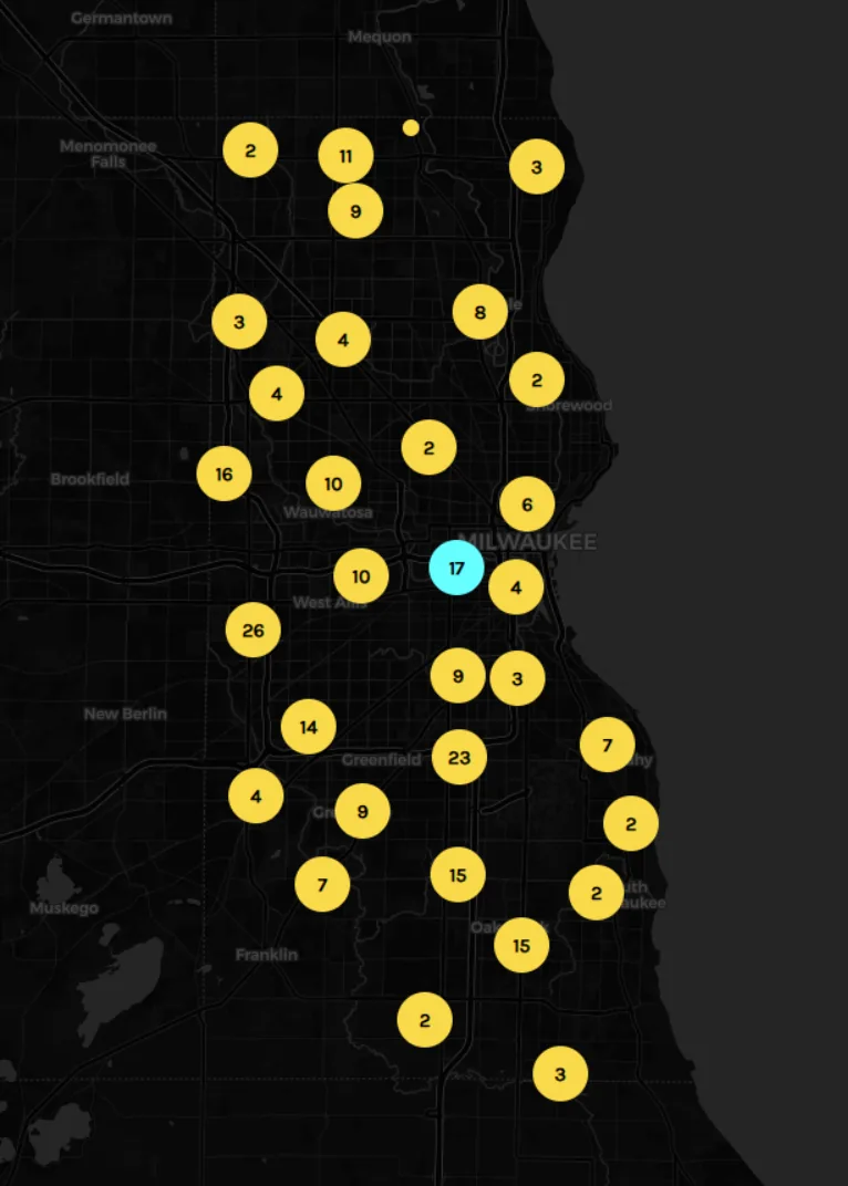
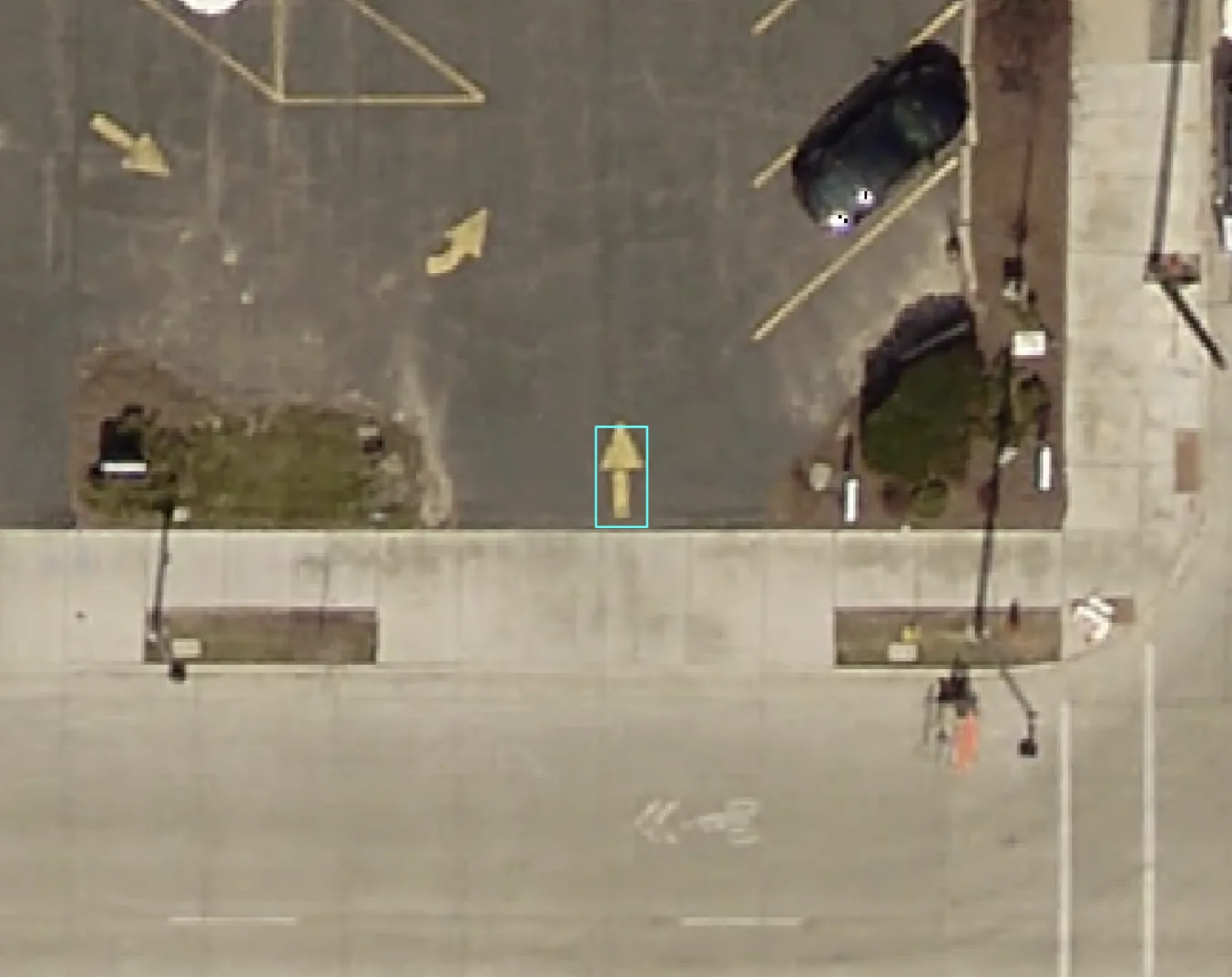
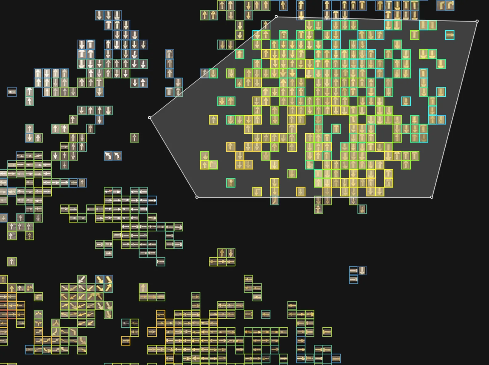
Identify the Next Opportunity in Your Imagery
Bring a public safety, investigative, infrastructure, or municipal problem set. We will explore where RAIC can help your teams search more efficiently, understand more of what is already being collected, and create new value from existing video and imagery.