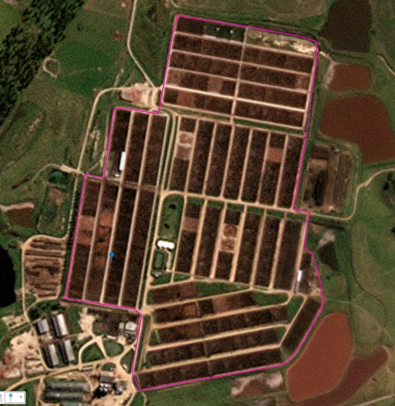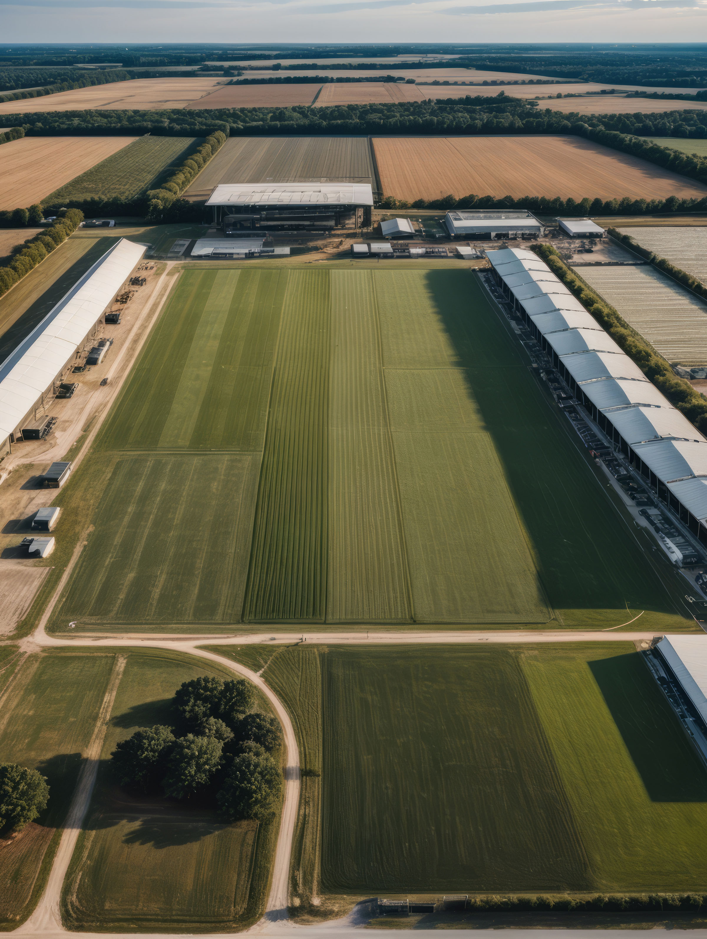
Aerial view of agricultural fields and distributed physical assets

Get More from Every Geospatial Collection

Aerial, drone, and satellite imagery often contains far more information than the question it was originally collected to answer. RAIC helps organizations search, characterize, and reuse imagery across changing requirements without building a new AI workflow every time.

01 — Reusable imagery capability

Expand Computer Vision Capability without Expanding Cost

RAIC helps organizations get more from the imagery, sensors, and geospatial data they already own. Add new search, detection, categorization, clustering, and monitoring capabilities without building a dedicated AI team, training a specialized model for every use case, or continually expanding compute infrastructure.

01

Unlock Existing Imagery Assets

Turn aerial, drone, satellite, and historical imagery into a reusable source of information. Explore new objects, features, and conditions as business needs emerge without acquiring new data simply to answer a new question.

02

Add New Capabilities without New Models

Use the same indexed imagery to support many computer vision tasks. New requirements can be explored quickly without committing to the cost and time of labeling data, training another model, and operating another inference pipeline.

03

Scale Use Cases, Not Infrastructure

Expand what teams can do with imagery while keeping the technical footprint manageable. RAIC enables efficient downstream operations across a reusable embedding space, allowing specialized AI teams, models, and compute to be reserved for the problems where they provide the greatest value.

SatelliteAerialDroneArchive
Reusable imagery indexBuild once
SearchClusterCategorizeDetectExplore
02 — Commercial GIS applications

Built for Industries That Create or Depend on Geospatial Data

RAIC can add value anywhere imagery is created, distributed, analyzed, or used to understand the physical world.

Earth observed from orbit, with oceans, land, and cloud cover along the planetary limb 01 / Imagery supply

Create and Distribute Imagery

For organizations whose product is the collection itself.

  • Satellite imagery providers
  • Aerial imagery providers
  • Drone manufacturers
  • Drone service providers
  • Mapping and surveying firms
  • Geospatial platform providers
Value

Make imagery catalogs more useful, support more customer questions, and extend one collection into more downstream applications.

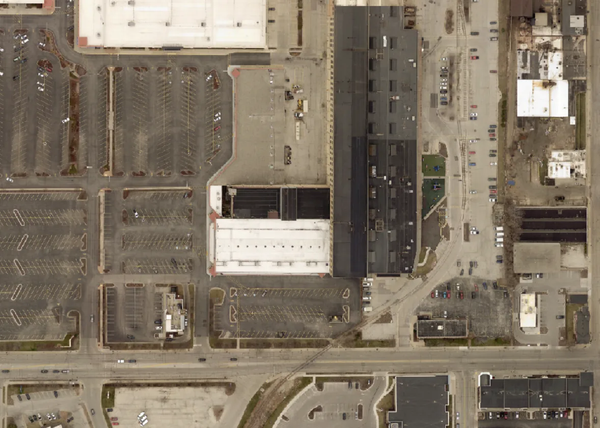
Overhead view of industrial buildings, parking lots, and roadways 02 / Physical operations

Operate Physical Assets

For organizations responsible for distributed infrastructure and physical operations.

  • Utilities
  • Energy and oil and gas
  • Renewable energy
  • Telecommunications
  • Transportation and logistics
  • Railroads
  • Construction and engineering
  • Mining and natural resources
Value

Search for assets, characterize conditions, identify activity, and use existing imagery across more operational workflows.

Satellite imagery used to derive location-based attributes and indicators 03 / Derived intelligence

Derive Geospatial Intelligence

For organizations whose products or decisions depend on understanding what is happening at a location.

  • Insurance and reinsurance
  • Property and location intelligence
  • Commercial real estate
  • Agriculture and agribusiness
  • Forestry and environmental services
  • Financial and alternative data providers
  • Retail and site intelligence
  • Ports and maritime operators
Value

Derive new attributes, indicators, and insights from imagery without building a bespoke computer vision capability for every use case.

Commercial GIS evaluation

Identify the Next Opportunity in Your Imagery

Bring an existing collection, workflow, or geospatial problem. Explore where RAIC can help support new applications, answer new questions, and increase the utility of imagery you already collect or license.

Start the Conversation