
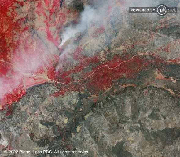
A hurricane strikes, and the damage is overwhelming. In addition to tragic loss of life, countless homes are destroyed, leaving survivors to grapple with the complicated process of rebuilding, including filing insurance claims and seeking federal assistance.
What if aid organizations could accurately identify at-risk and affected areas and damaged properties within days after a disaster, before residents even return to the region?
If this sounds impossible, that’s because it was — until RAIC Labs’ Rapid Automated Image Categorization (RAIC).
An end-to-end AI solution, RAIC allows analysts to draw insights from unlabeled data within minutes, opening new avenues for finding actionable information in geospatial data.
How RAIC identified submerged homes after Hurricane Ian
RAIC queried imagery of the Cape Coral region of Florida, taken shortly after Hurricane Ian’s impact, to locate damaged homes:
- First, an analyst selected a map tile containing flooded mobile homes.
- Then, RAIC’s unsupervised AI analyzed the dataset to return a set of tiles with similar properties.
- The analyst nudged the AI by marking a selection of the results as matches.
- Based on this human nudge, RAIC produced a full heat map of flooded homes across the entire map.
Within minutes, RAIC’s powerful AI had done what it would have taken countless human-hours to do.
This capability helps organizations unlock the potential of geospatial intelligence without relying on exhaustive manual review.
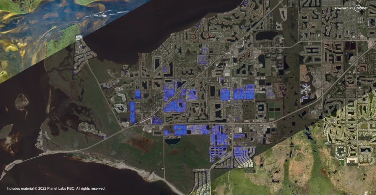 RAIC helps assess damage from Hurricane Ian using satellite data.
Welcome to the future of geospatial analysis – from raw data to insights in minutes
The geospatial information and services (GIS) industry is on the cusp of a new era — as data costs go down, the breadth of industries using GIS will expand.
Satellites have quite literally produced worlds of data – we're collecting hundreds of terabytes every day. Never before has so much information about our planet been available. With their view from above, satellites capture imagery of Earth’s human and natural activity, from urban development to deforestation, from fire to flood.
The challenge is making sense of this growing volume of data and moving from collection to useful insight quickly. That’s where RAIC comes in.
Organizations of all sizes can use geospatial data to make better decisions faster, from farmers comparing crop performance year over year, to insurers assessing large-scale disaster damage, to national security teams evaluating activity across broad areas.
For industries from shipping to transportation, from insurance to environmental protection, and from national defense to health and human services, RAIC will enable more strategic resource allocation, stronger risk analysis, and immeasurable time savings. Ultimately, all this leads to increased profits, decreased loss of human life and property, and massive market advantage.
RAIC is already tackling a variety of use cases in the government, commercial, and humanitarian sectors. Customers could use RAIC and geospatial data to find and classify fire damage, crop health, and areas of interest such as concentrated animal feed lots — all in the name of battling the climate crisis.
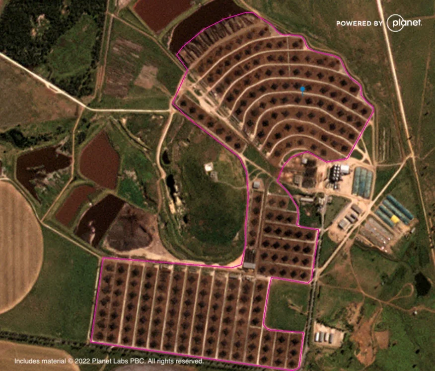 RAIC helps an organization search satellite imagery for concentrated animal feed lots, or CAFOs.
With RAIC, seeing is believing
Among RAIC’s greatest advancements over traditional AI tools are its speed, scale, and usability. It can query enormous quantities of unlabeled data without the months of labeling and large AI teams traditionally required to produce actionable insights.
In one test, RAIC identified passenger planes, fighter jets, storage tanks, and helicopters in a geospatial dataset 26 times faster than human labeling while also producing more accurate results. Labeling a sample of about 2,000 tiles took four person-hours; RAIC completed the same task in 11 minutes. At the full dataset’s scale of 200,000 tiles, manual review would have required roughly 400 person-hours while RAIC could still complete the work in minutes.
RAIC has also queried imagery across the entire subcontinent of India, surfacing power plants, solar farms, and highways from unlabeled data. That combination of speed and scale gives analysts a new way to interrogate visual data and pursue questions that would previously have been impractical.
Interested in learning more about how RAIC might increase your organization’s speed-to-insight? Contact the RAIC Labs team.