Image intelligence stories
Learn how companies are using RAIC Labs to gain competitive advantage, improve outcomes, and grow.
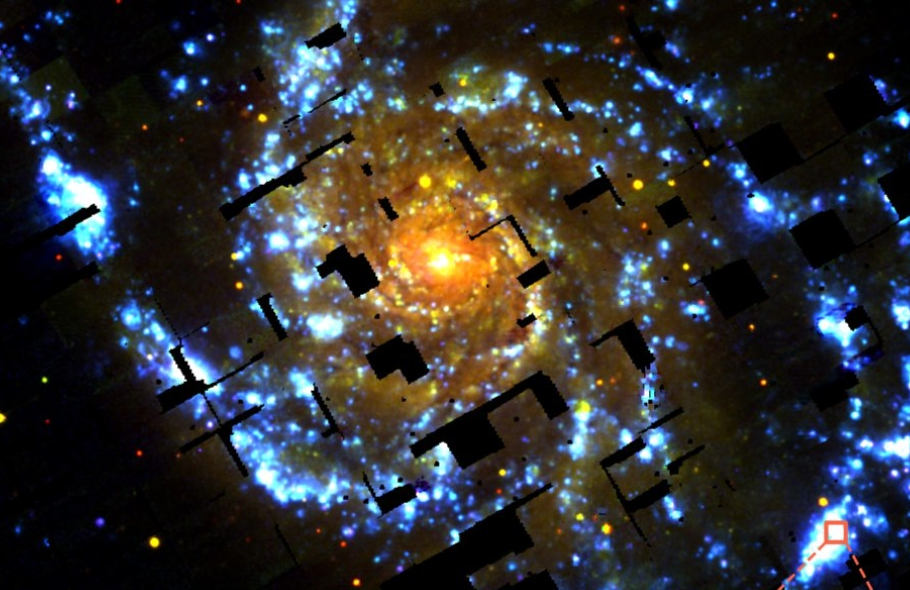
50% increase in usable data
RAIC played a pivotal role in the Hobby-Eberly Telescope Dark Energy Experiment (HETDEX), dramatically increasing the team’s usable data by 50% and accelerating their analysis of the Universe’s most elusive phenomena. By efficiently categorizing artifacts in their massive dataset, RAIC enabled the HETDEX team to uncover new insights into dark energy, making groundbreaking discoveries possible with a fraction of the effort.
Read how they did it
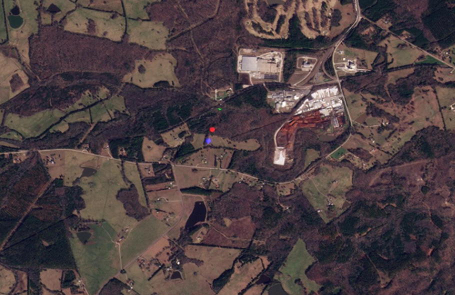
The impossible search
RAIC Labs made the impossible possible by rapidly tracking the Chinese balloon across millions of square miles of satellite data, uncovering its entire journey from South Carolina back to China. With just a simple sketch as a starting point, RAIC pinpointed the balloon in minutes, demonstrating its unparalleled capability to solve real-world challenges with unprecedented speed and accuracy.
Read how we did it
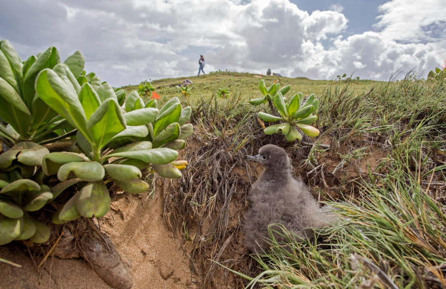
AI detects long-lost seabirds
The Nature Conservancy made a groundbreaking discovery on Palmyra Atoll using RAIC AI, detecting two seabird species that had been absent for decades. This innovative approach not only validated years of restoration efforts but also set a new standard for how AI can revolutionize conservation by providing scalable, non-invasive monitoring of critical ecosystems.
Read more
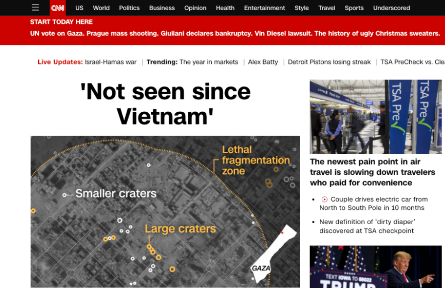
Detecting changes in satellite imagery
Using RAIC Labs' AI platform, CNN uncovered the impact of Israel's 2023 bombardment of Gaza, detecting over 500 craters from 2,000-pound bombs in satellite imagery. This groundbreaking analysis provided real-time insights into the scale of destruction, highlighting the crucial role of advanced AI in conflict zone reporting over time.
Read more
Defense Intelligence powered by RAIC Search
RAIC Labs’ AI technology dramatically improved the U.S. Air Force’s ability to process and analyze vast amounts of geospatial imagery data, reducing annotation time and enhancing accuracy in object detection. This breakthrough in rapid and efficient AI modeling is revolutionizing military ISR operations, enabling faster and more precise decision-making in real-time scenarios.
Read more
Measurable results
50%
More usable data
21x
Faster than traditional methods
400%
Increase in detections


Ready to do more with your data?
Contact our team to learn more and for a complimentary strategic AI consultation.