Thank you for your interest in our AI powered solutions
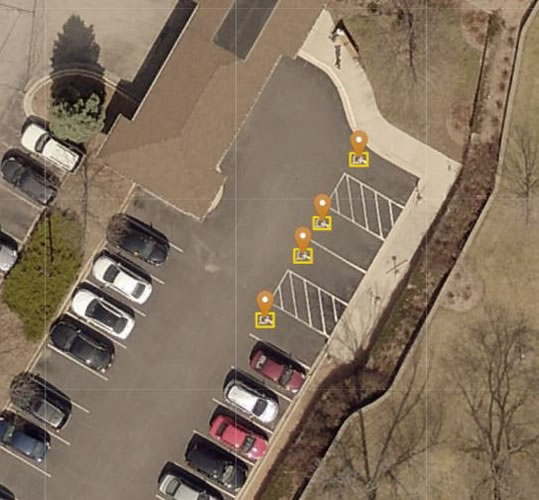
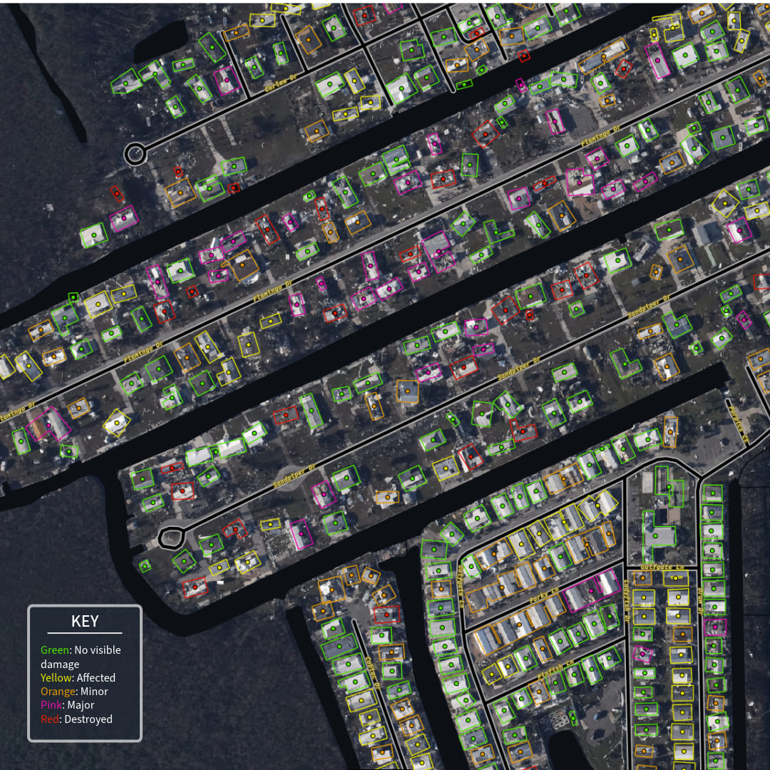
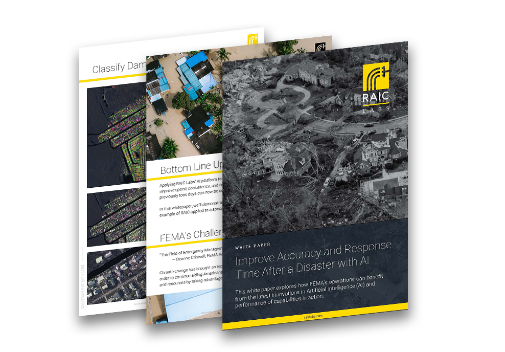
Applying RAIC, ai cloud-based image analysis platform, to Geospatial Damage Assessment (GDSA) can improve speed, consistency, and accuracy. With RAIC, processes that previously took days can now be completed in hours.
In this white paper, we’ll demonstrate RAIC’s potential through through an example of RAIC applied to a specific GDSA workflow.
Fill out the form below and your download will open up in a new tab.
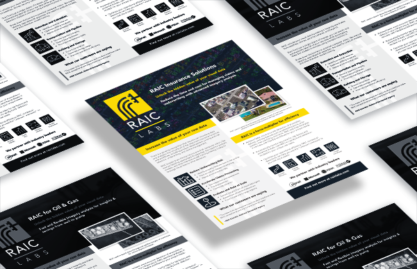
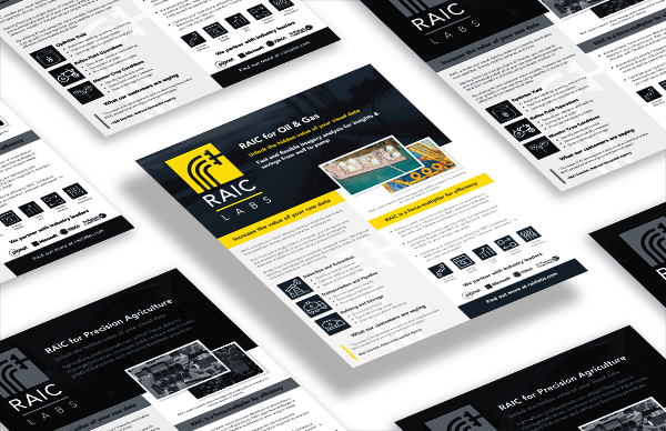
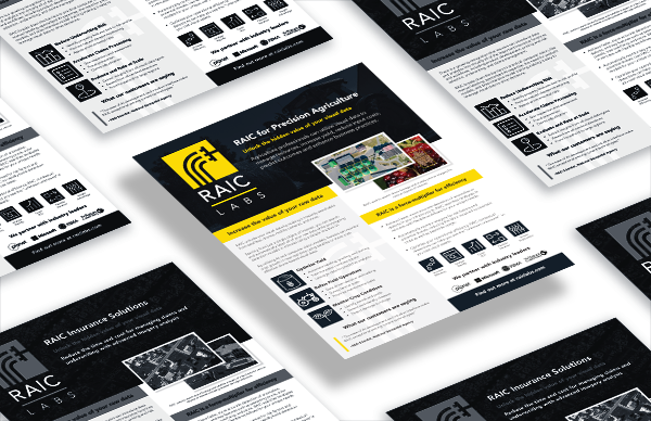
Additional downloads you may be interested in
Are you ready to do more with your data?
Contact us to schedule a strategic consultation and product demo with some of our solution specialists.
